The Fluid Fingerprint of Hurricanes
HU researcher used isotope analyses to investigate the path of water in El Niño storms
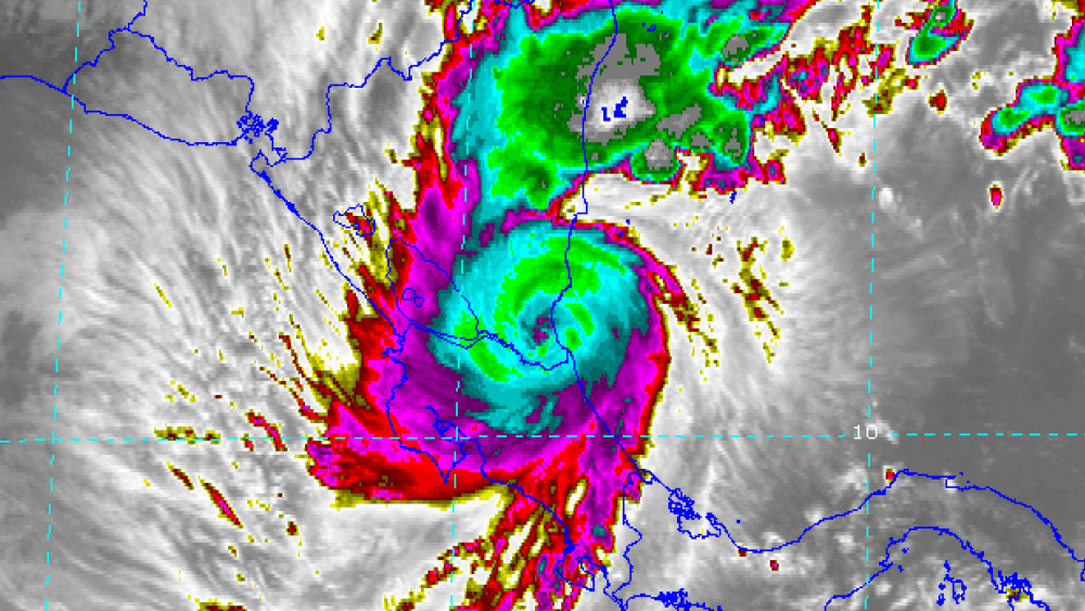
The climatic phenomenon ‘El Niño/Southern Oscillation’ leads repeatedly in the Mesoamerican and Caribbean regions to natural catastrophes – extreme droughts and severe hurricanes. Most recently the region experienced a severe drought from 2014-2016, during which 3.5 million people suffered from food shortage. Together with an international team, researcher Dörthe Tetzlaff of Humboldt-Universität zu Berlin (HU) investigated that the path that water takes in the lead-up to El-Niño hurricanes. In the analysis she used stable isotopes to fingerprint the water. The results of the study help to better predict extreme weather events and to understand their effects on water resources and aquatic ecosystems. The study has now been published in Nature Communications.
Isotopes as markers for hurricanes
In the study a unique dataset of stable isotopes was used in high temporal resolution and in broad spatial expansion over several mid-Atlantic countries in order to quantify the geographic origins of precipitation. Stable water isotopes (2H and 18O) are markers used to determine the origins, flow paths and age of water. These isotopes occur naturally, are part of the water molecule and allow for the fingerprinting of water. They provide clear evidence of where the water has come from and how it has been changed in the atmosphere.
Diverse applications
‘In order to improve adaptive measures to these extreme hydroclimatic events in the region, we still need to find out more about the emergence and consequences of tropical cyclones in times of global environmental change. Stable isotopes provide outstanding possibilities for investigating the distribution of water in the region. Droughts in Brandenburg can be researched with isotopes in this way, as well as hurricanes in Central America,’ says Dörthe Tetzlaff, who is not only a full professor at HU, but also leads the Ecohydrology Group at the IGB Leibniz Institute of Freshwater Ecology and Inland Fisheries.
Tetzlaff was part of an international team from Costa Rica, Germany, Scotland, the United States, Cuba, the Bahamas and Japan that investigated the extreme rainfall of three hurricanes in the Caribbean and in the Atlantic basin on an hourly basis and in real time using modern isotope analysis.
Publication
“Deciphering key processes controlling rainfall isotopic variability during extreme tropical cyclones”
Ricardo Sánchez-Murillo, Ana M. Durán-Quesada, Germain Esquivel-Hernández, Daniela Rojas-Cantillano, Christian Birkel, Kristen Welsh, Minerva Sánchez-Lull, Carlos M. Alonso-Hernández, Doerthe Tetzlaff, Chris Soulsby, Jan Boll, Naoyuki Kurita, Kim M. Cobb.
Nature Communicatios 2019 www.nature.com/articles/s41467-019-12062-3
Further information
- Website Institute for Geography
- Website IGB Leibniz Institute of Freshwater Ecology and Inland Fisheries
Contact
Professor Dörthe Tetzlaff, Geographical Institute, Humboldt-Universität zu Berlin
phone: 030 2093-9437
email: doerthe.tetzlaff(at)geo.hu-berlin.de